|

|
|
|
|
|
|
|
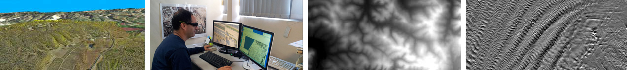
Complementary to MDVIA's capability to produce Orthophoto products, it can also produce Digital Elevation / Terrain / Surface models in a range of resolutions. These products can be used to answer a verity of needs including extraction of terrain parameters, modeling water flow or mass movement (avalanches and landslides), creation of relief maps, rendering of 3D visualizations, line of sight mapping and more.
Using an innovative system that takes advantage of cutting edge digital aerial survey techniques MDVIA will collect elevation data and produce the product that best suits the clients needs. Our system is capable of covering very large areas at a wide variety of scales, and may be used at any location under diverse and harsh weather conditions. Also it is not constrained to a specific platform. The entire production process from planning via raw data processing to the final product , as well as logistical aspects of the production, is conducted by MDVIA.
MDVIA has gained vast experience in producing these models, for a verity of uses around the world.
|
|
|
|
|
|
|
|