|

|
|
|
|
|
|
|
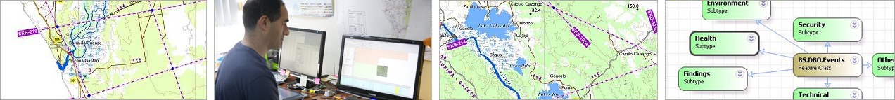
MDVIA offers its clients digitization of entities and information based on raster data (scanned map or Orthophoto), and representation as vector layers. The entities and information can be of virtually unlimited types such as roads, property boundaries, points of interest, natural habitats etc. The vector layers created can be used in maps, presentations and even integrated to our GIS, to represent both static situations and dynamic changes over a timeline.
All stages of the layers creation, from the planning phase of understanding the client's needs, via the information collection process, to the final product are conducted by MDVIA's employees. The vector layers can be exported in a Variety of formats depending on the client's choice.
MDVIA has gained extensive knowledge and experience in producing these layers, for a Variety of uses around the world.
|
|
|
|
|
|