|

|
|
|
|
|
|
|
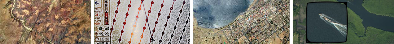
MDVIA possess vast experience in the field of Orthophoto production. MDVIA had already taken part in large scale projects, creating Orthophoto of over 40,000 km2 in resolutions ranging from 6 to 50 cm per pixel (GSD).
Using an innovative system that takes advantage of cutting edge digital aerial survey techniques MDVIA will produce Orthophoto and True-Orthophoto maps. Our system is capable of covering very large areas at a wide variety of scales, and may be used at any location under diverse and harsh weather conditions.
The entire production process is conducted by or under MDVIA's supervision, from the planning phase, through execution and until the post production process of the raw data. Along with the Orthopho, a DTM (Digital Terrain Model) at varying grid sizes can also be produced using the data already collected.
|
|
|
|
|
|